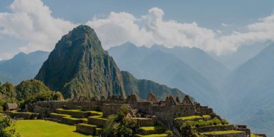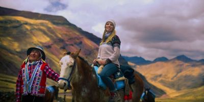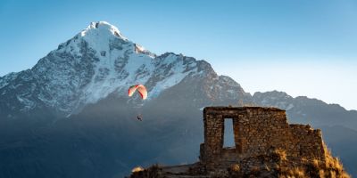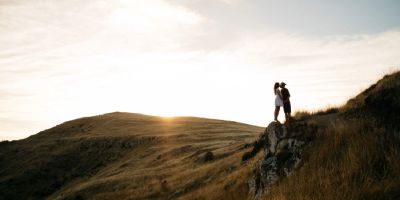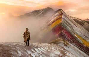

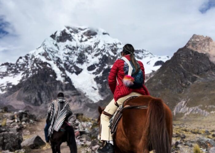
Apu Ausangate the highest mountain in Cusco
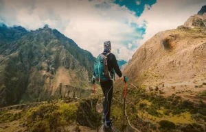
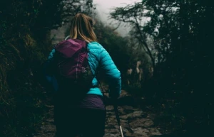
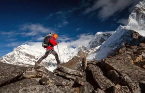
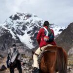
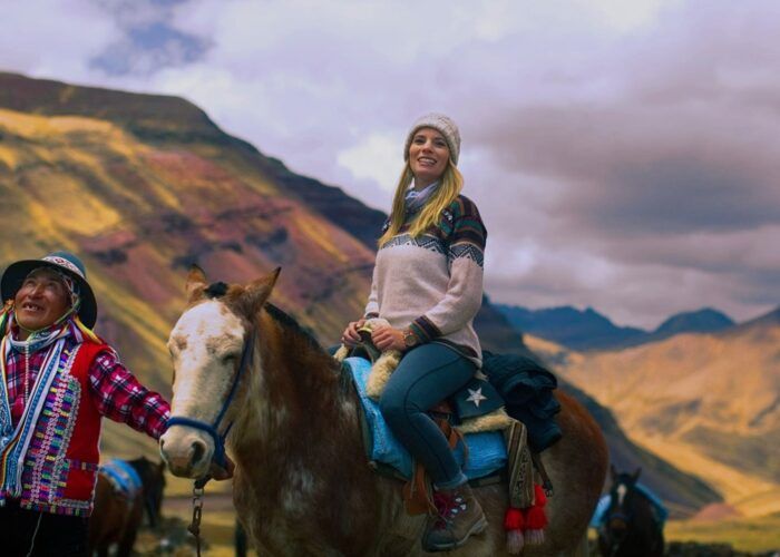
A trip to Ausangate Mountain is one of natural beauty, living history and ancient spirituality. The route takes you through the Cordillera Vilcanota or Cordillera del Vilcanota. Ausangate is actually the fifth highest mountain in Peru, standing at 20,945 feet above sea level.
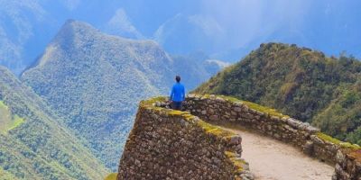
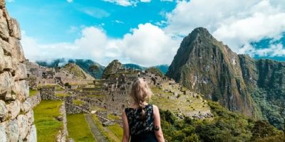
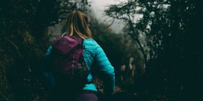
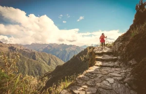
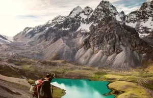
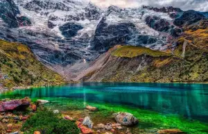
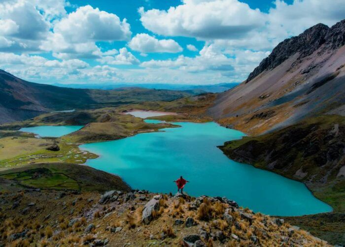
Throughout this Peru trek, you’ll ascend and descend the mountain range, encountering panoramic views of the Andes, thermal lakes, mystical glaciers, moss-covered green passes, and massive snow-capped mountains.
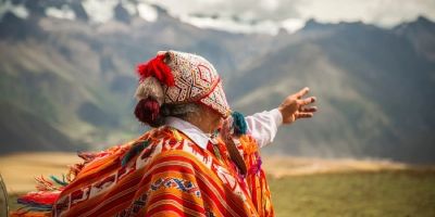
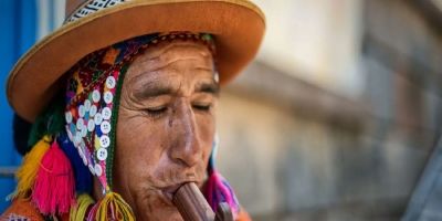
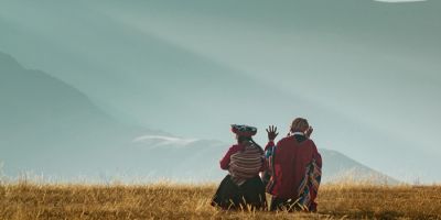
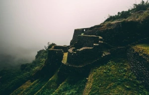
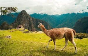
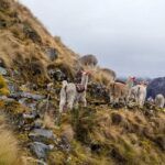
Along the way, you’ll catch glimpses of interesting wildlife, including condors, chinchillas, and groups of vicuñas. You will also find hidden Andean villages, richly rooted in centuries-old traditions. The highest point of the hike is 16,800 feet above sea level and the campground’s highest elevation is 15,255 feet.

In the Vilcanota Mountain Range there is a dry season and a wet season. The dry season is between May and September and is considered the best time for hiking in the Andes. However, note that the dry season, which contains the winter months in Peru, is also the coldest time of the year. The coldest months are from May to July. Expect days to be cool, no warmer than 40 degrees F, and nights to drop to freezing temperatures down to 10 degrees F.
The rainy season is from October to April. Although the rainy season is warmer, it can still get cool at night. In fact, there can also be heavy snowfall given the elevation. Rain and snow can cause muddy paths and even partial trail closures.
The weather is especially good between January and March, and February brings the most rainfall. The middle months of October and April bring more moderate weather with a mix of rainy and dry days.
Below is an illustrative map covering the main circuit of the Ausangate trek 5 days, describing the main trail to Rainbow Mountain and around Ausangate Mountain. This visual aid highlights essential waypoints, campsites, notable passes and key landmarks along the route, offering a complete overview of the hike’s terrain and points of interest.

Mild symptoms of altitude sickness are similar to those of a hangover and include:
If you experience any of these more serious symptoms, seek medical help:
How to prevent altitude sickness

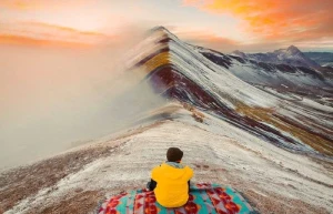
Here we have the Ausangate hikes towards the colorful mountain, as well as on different days. The Ausangate trek map in each of the tours you can see below.


")